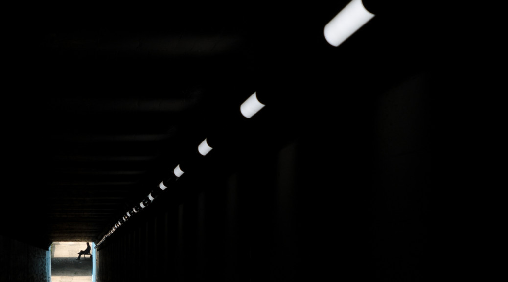
Berlin Hyperlapse
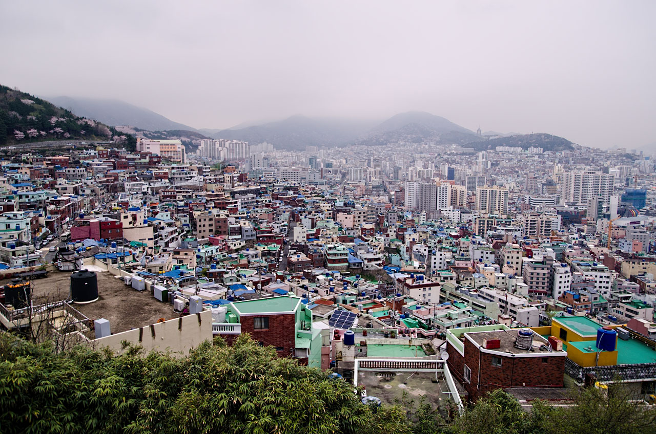
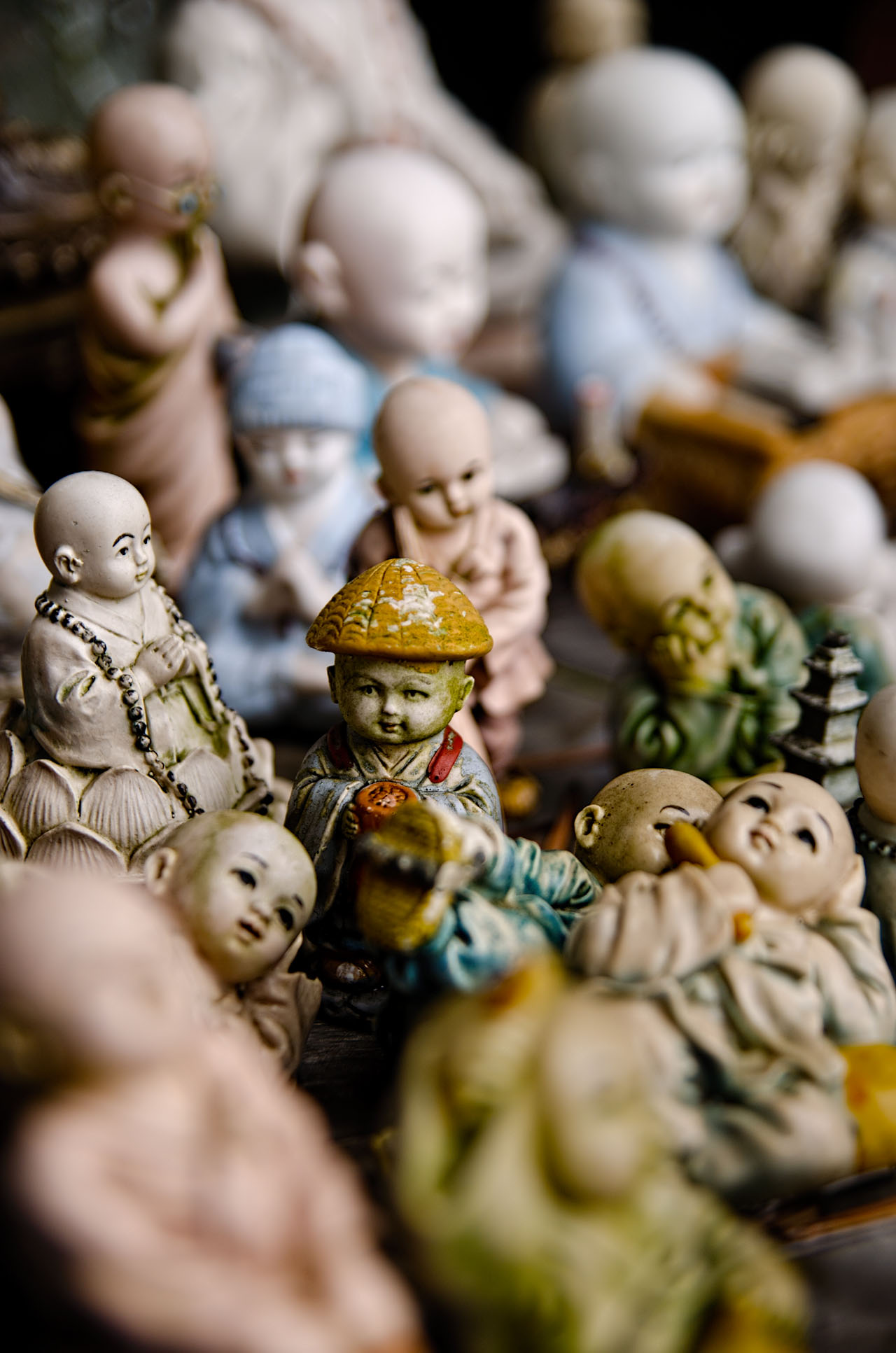
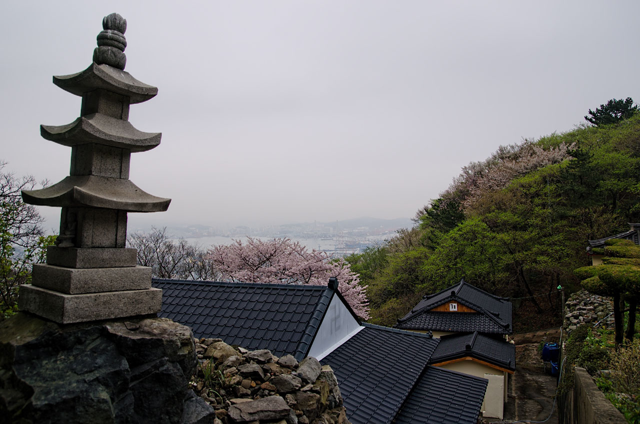
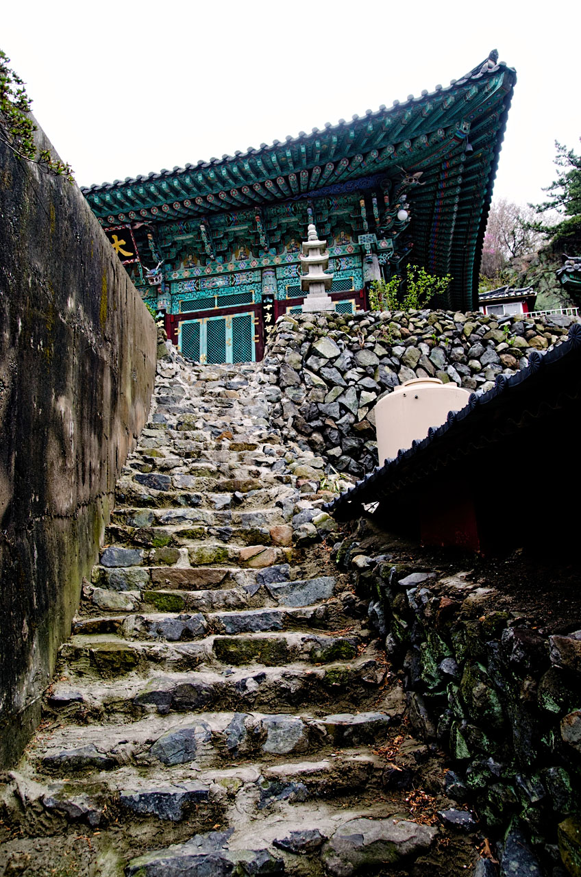
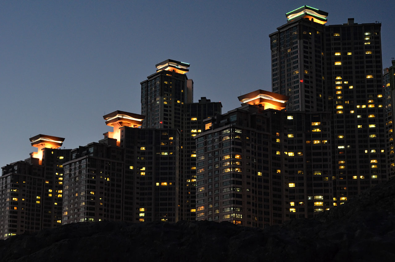
Seoul Time-Lapse
Enter Pyongyang from JT Singh on Vimeo.
Ghost Style ‘Love Never Dies’ from PowerUpTimelapse on Vimeo.
Time lapse House of Cards.
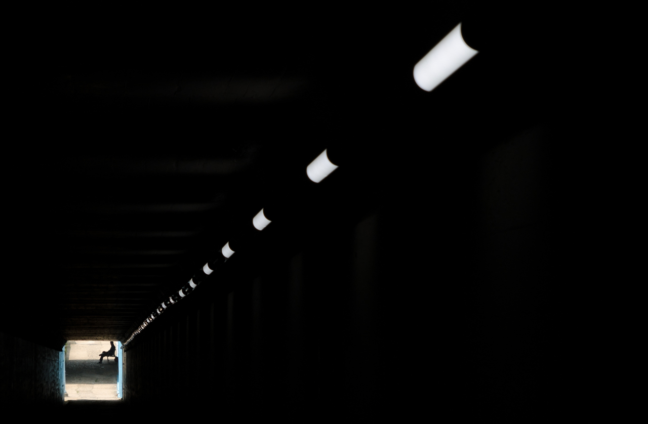
Berlin Hyperlapse
Seoul Time-Lapse
Enter Pyongyang from JT Singh on Vimeo.
Ghost Style ‘Love Never Dies’ from PowerUpTimelapse on Vimeo.
Time lapse House of Cards.


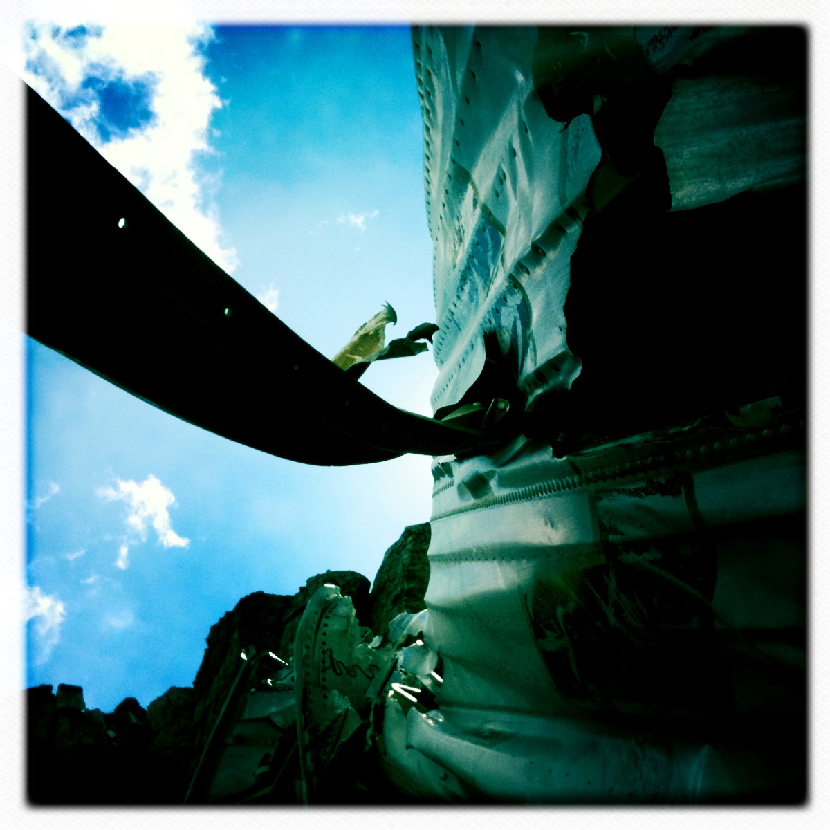
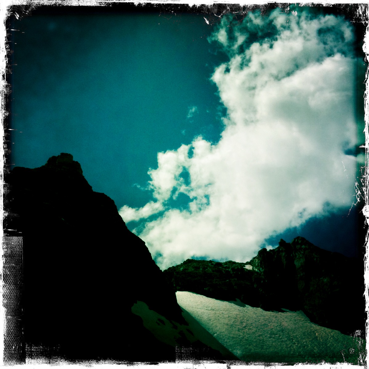
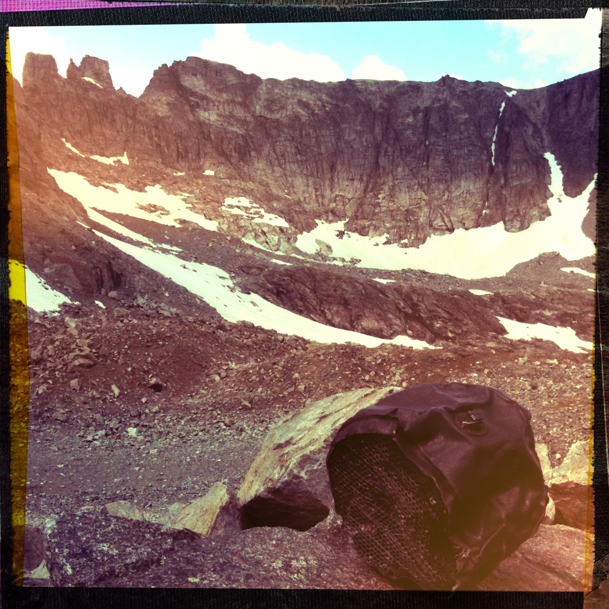
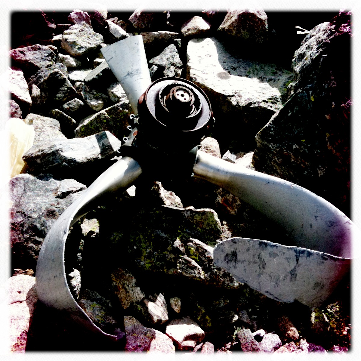
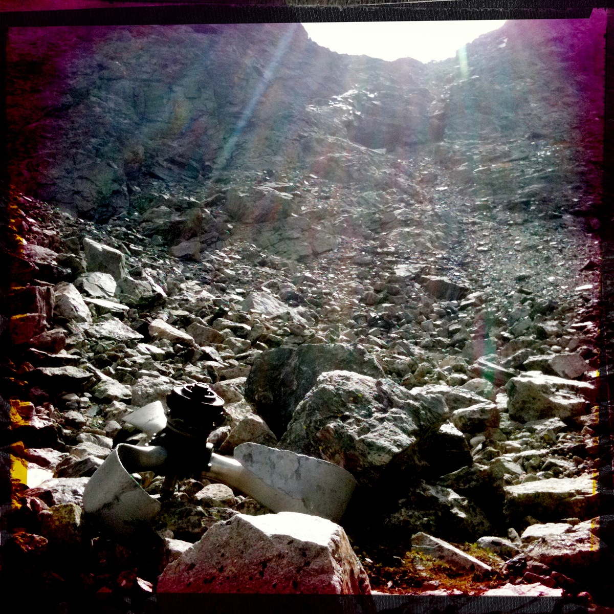
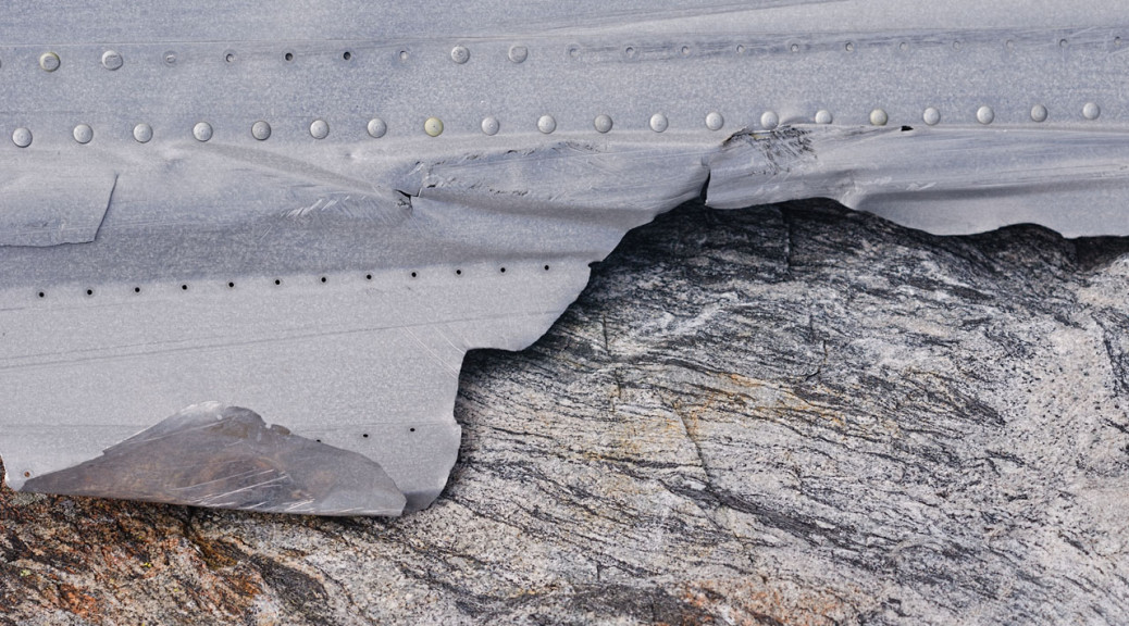
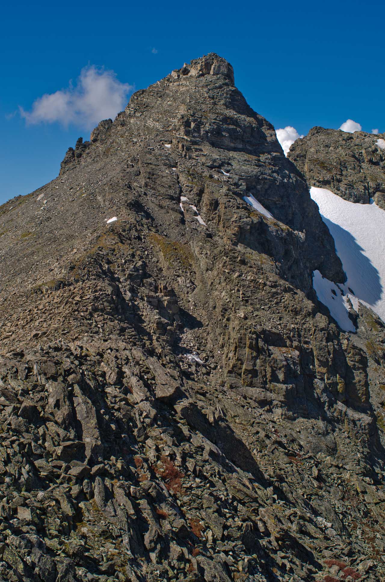
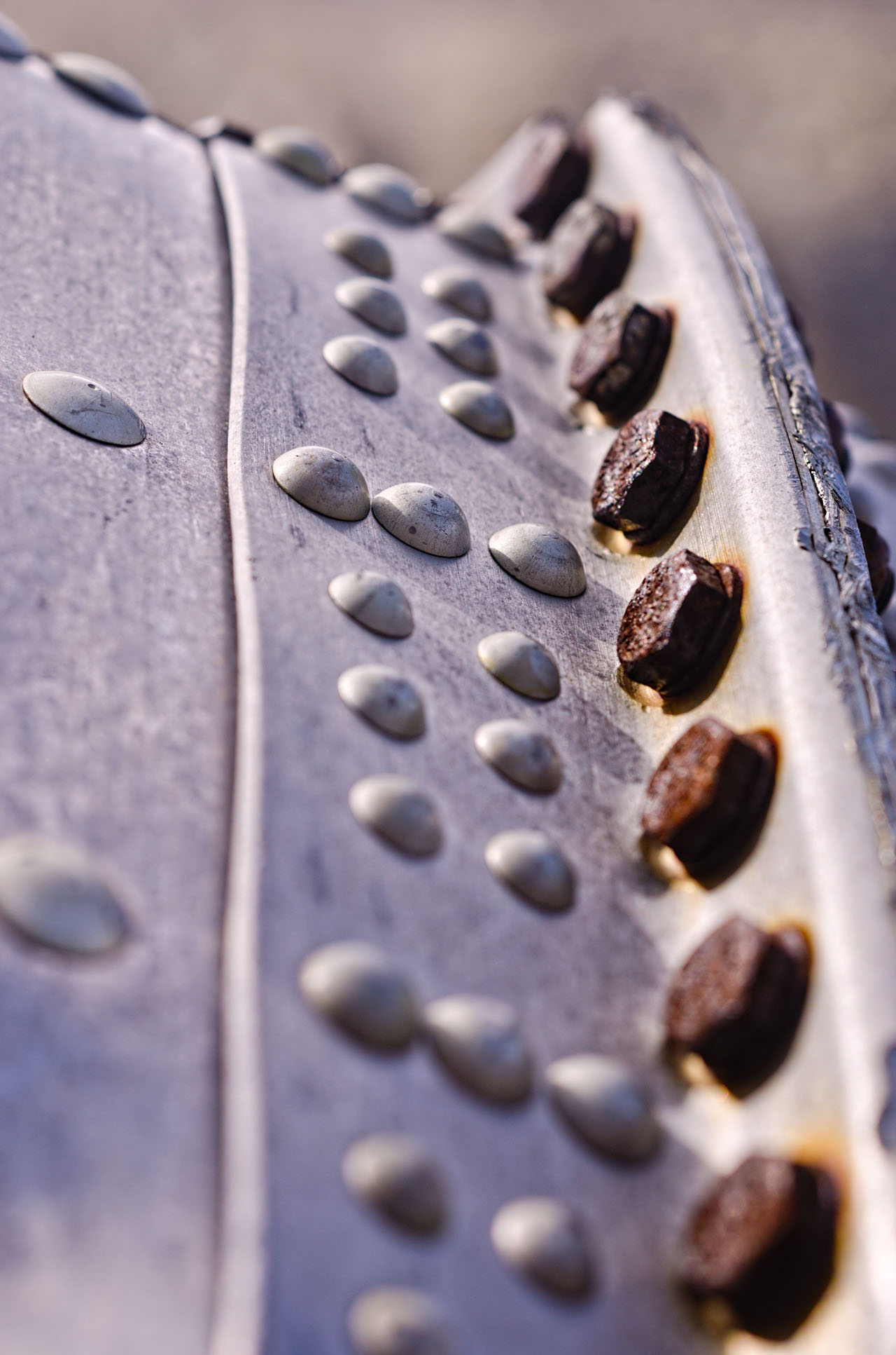
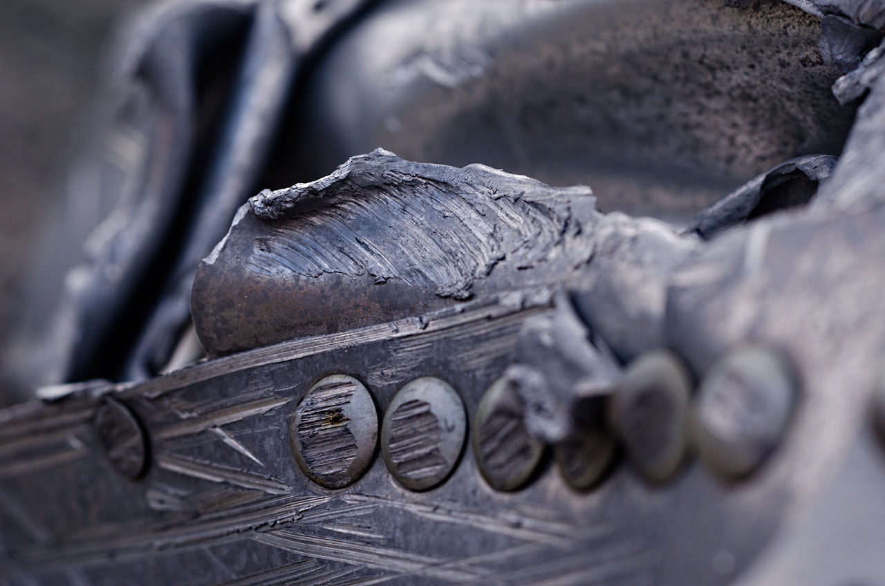
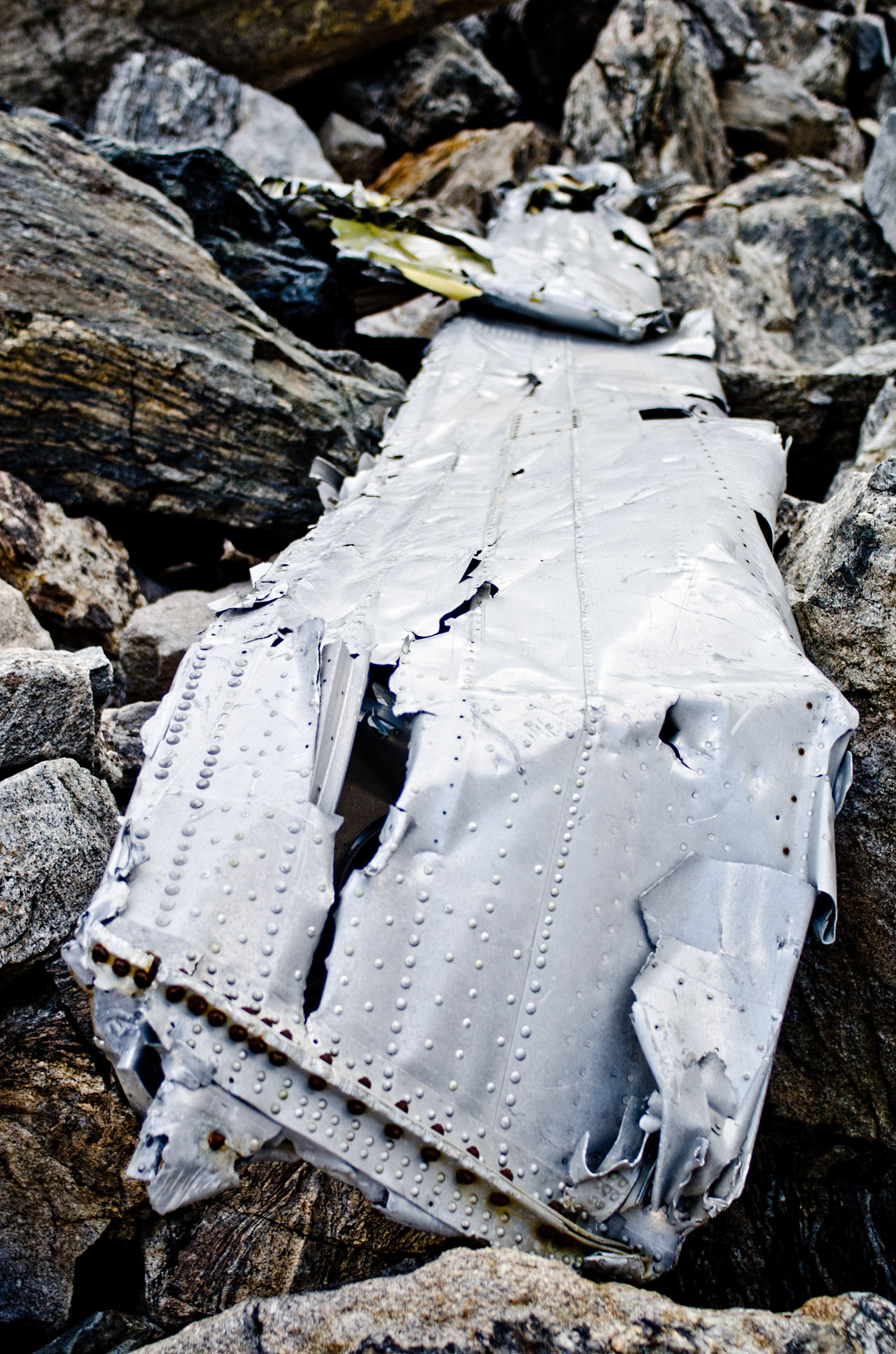
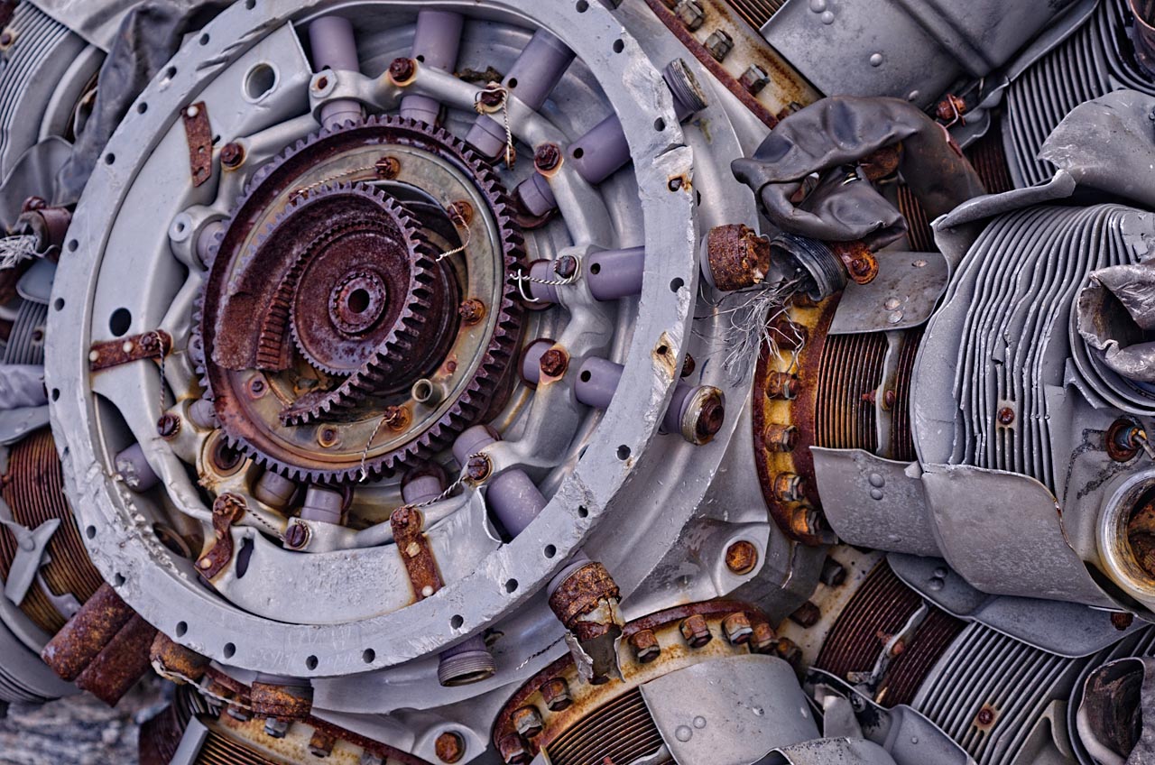
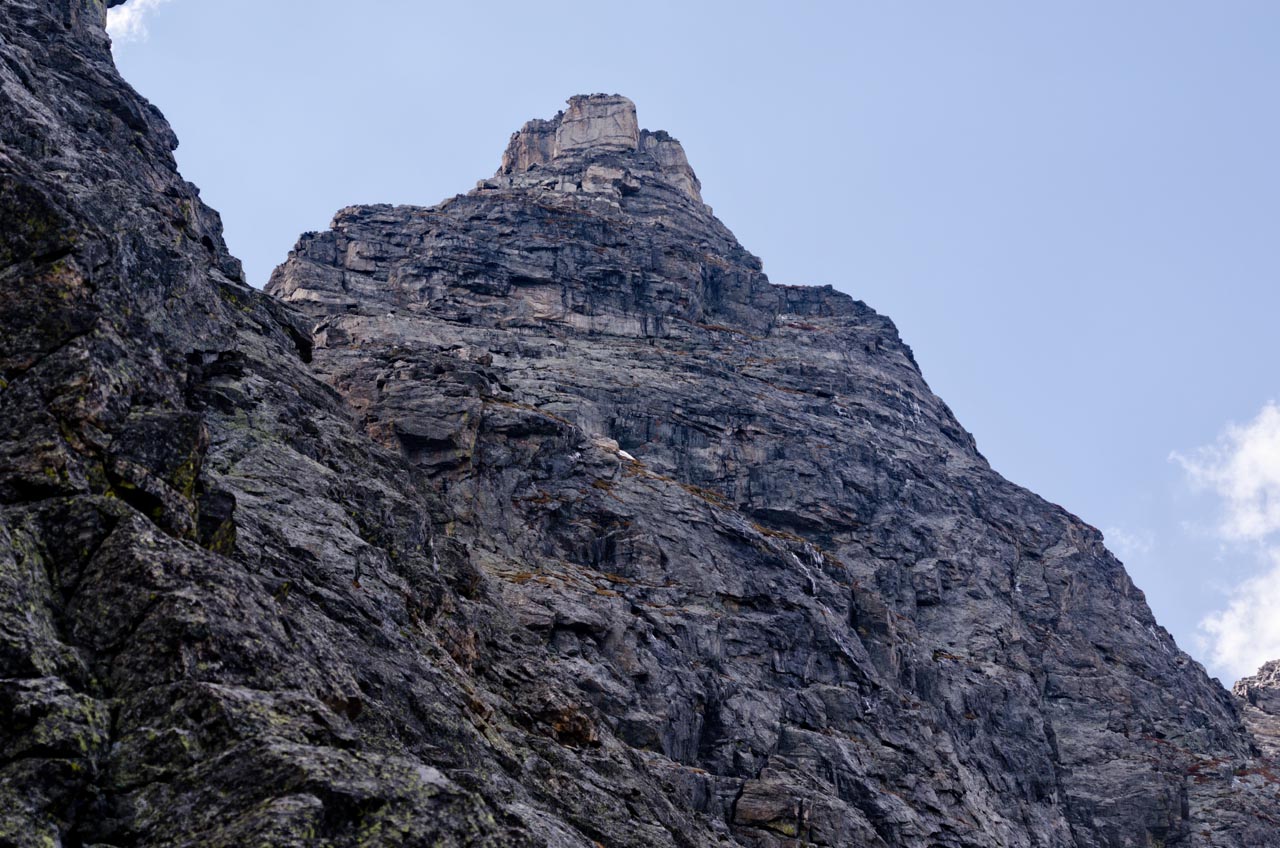
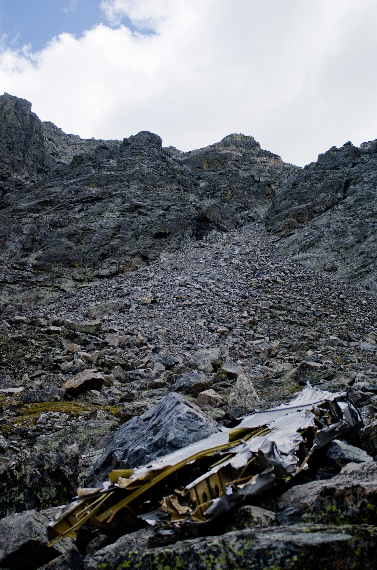
Navajo Peak and Airplane Gully. Part of the wreckage of the DC-3 can be seen below the center of the picture.
Excepts from the 1948 Accident Investigation Report:
[Aircraft] NC-206 [DC-3] departed from Denver, Colorado, at 1602 [January 21, 1948] for Grand Junction, Colorado.
Twenty-two minutes later, at 1624, the CAA communication station at Denver received a position report from the flight that it was at an altitude of 14,500 feet, 500 feet over the top of clouds, and 20 miles west of Denver. The flight also reported that they were experiencing severe turbulence.
At approximately 1630, aircraft NC-206[…] crashed 7 miles west southwest of Ward, Colorado, on Navajo Peak. The 3 occupants aboard were killed, and the aircraft was completely destroyed.
Impact and fire which followed completely destroyed the airplane.
A search was organized, and in spite of snowstorms and unfavorable weather on the night of January 21, 1948, search parties moved into the mountainous area from which the aircraft had last been heard. Snow continued for 7 days, covering the wreckage, and making it practically impossible to locate from either the air or the ground. As a result, the search parties were recalled January 28, but the aerial search continued. On May 23, 1948, the wreckage was located by an Air National Guard. It was found slightly below the summit and on the north side of Navajo Peak, which is approximately 7 miles west southwest of Ward, Colorado, or about 45 miles west northwest of Denver. Immediately after the wreckage was located from the air, a ground search party was dispatched to the scene […]
The search party found that the aircraft had struck the north northeast side of Navajo Peak approximately 500 feet below the summit, and at an elevation of 12,900 feet above sea level. […] First point of impact was on an almost vertical wall of rock, and the places where the engines had struck were clearly defined by oil spots and scars in the rock.
Probable Cause
The Board determines that the probable cause of this accident was an excessive loss of altitude resulting from a downdraft in an area of severe turbulence.—
One of the men that died in the accident was survived by a four-month-old son.
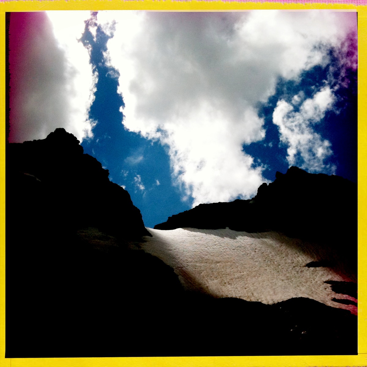
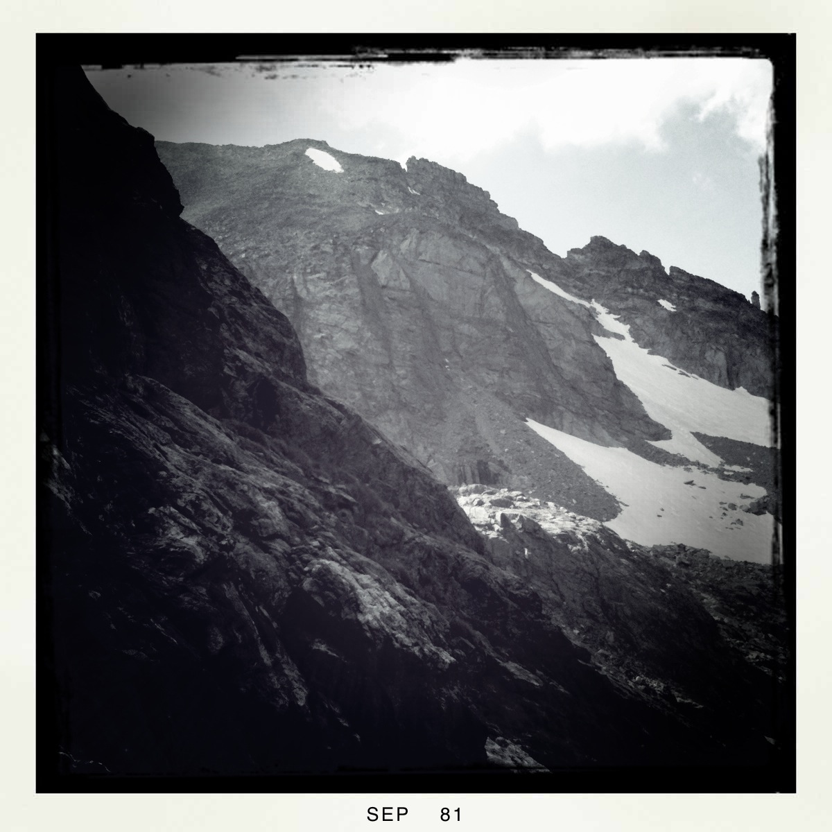
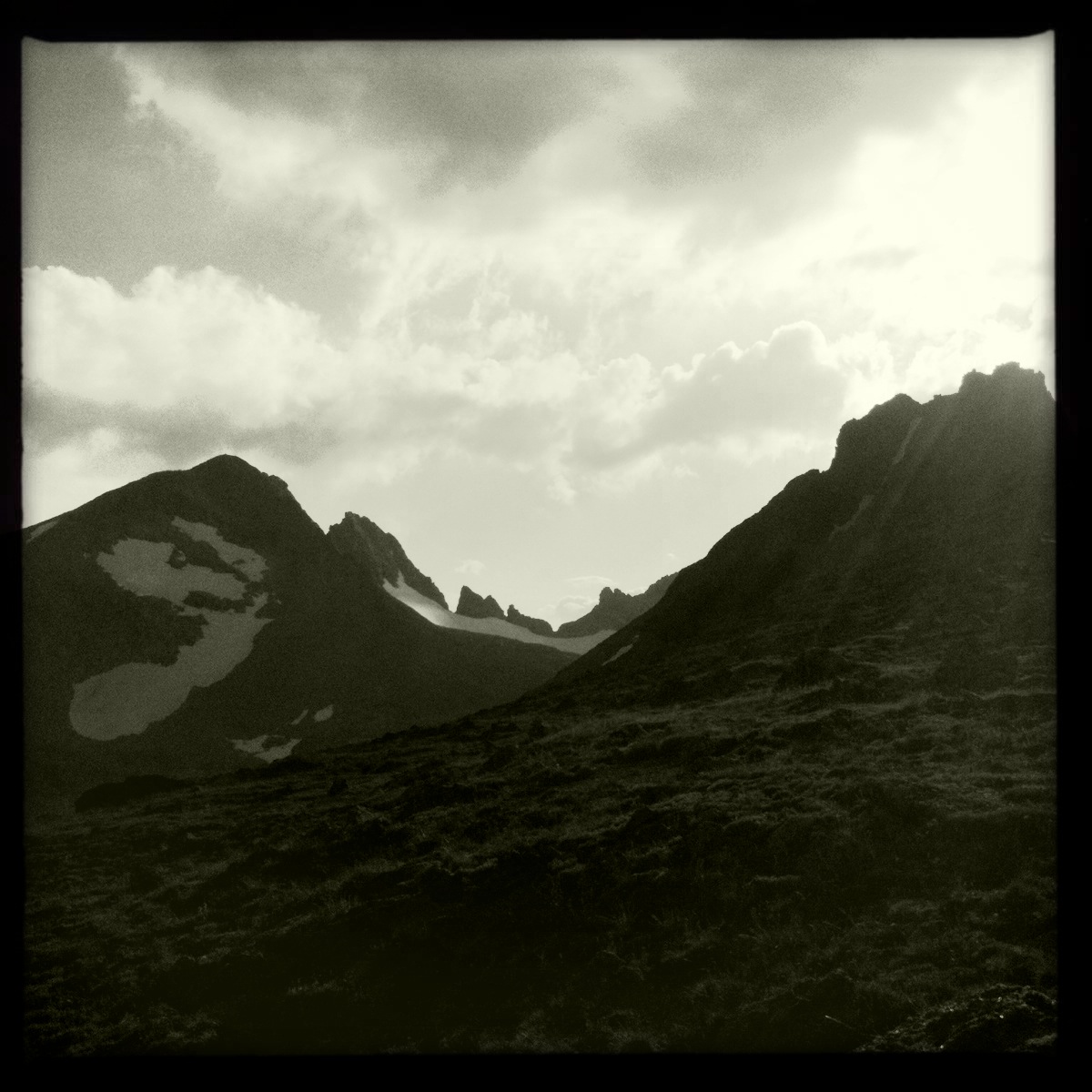
Navajo Peak, Indian Peaks Wilderness.
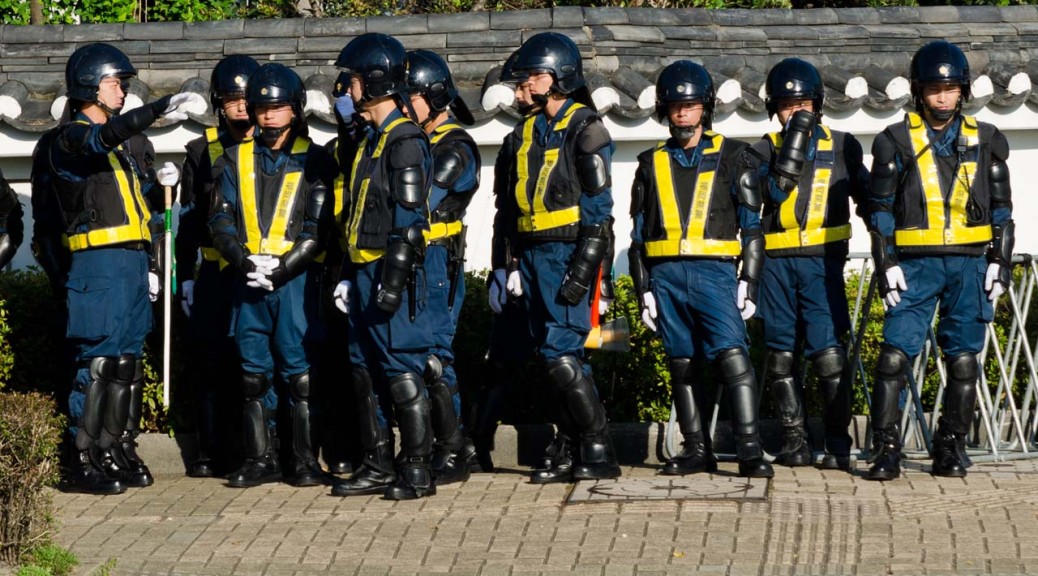
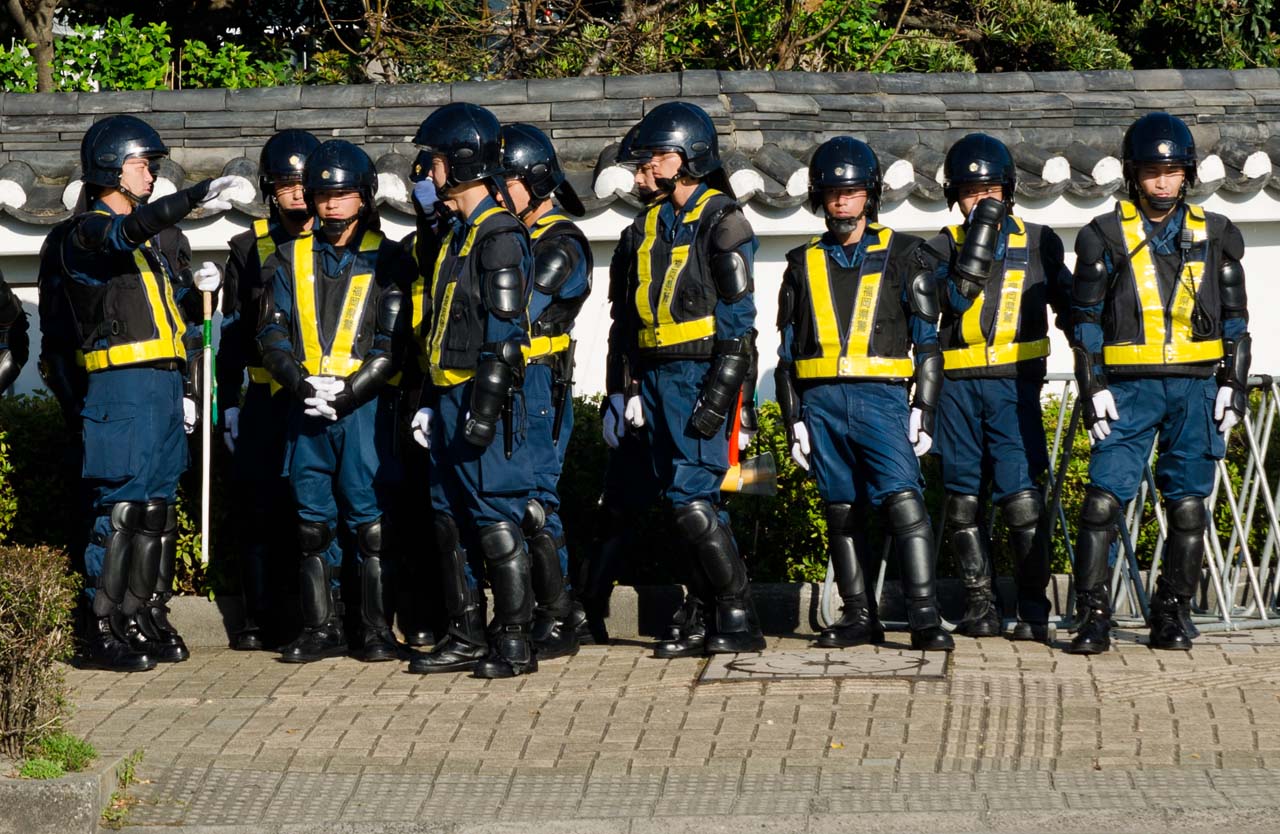 Japanese riot police guarding the Korean Embassy.

Inspiration?
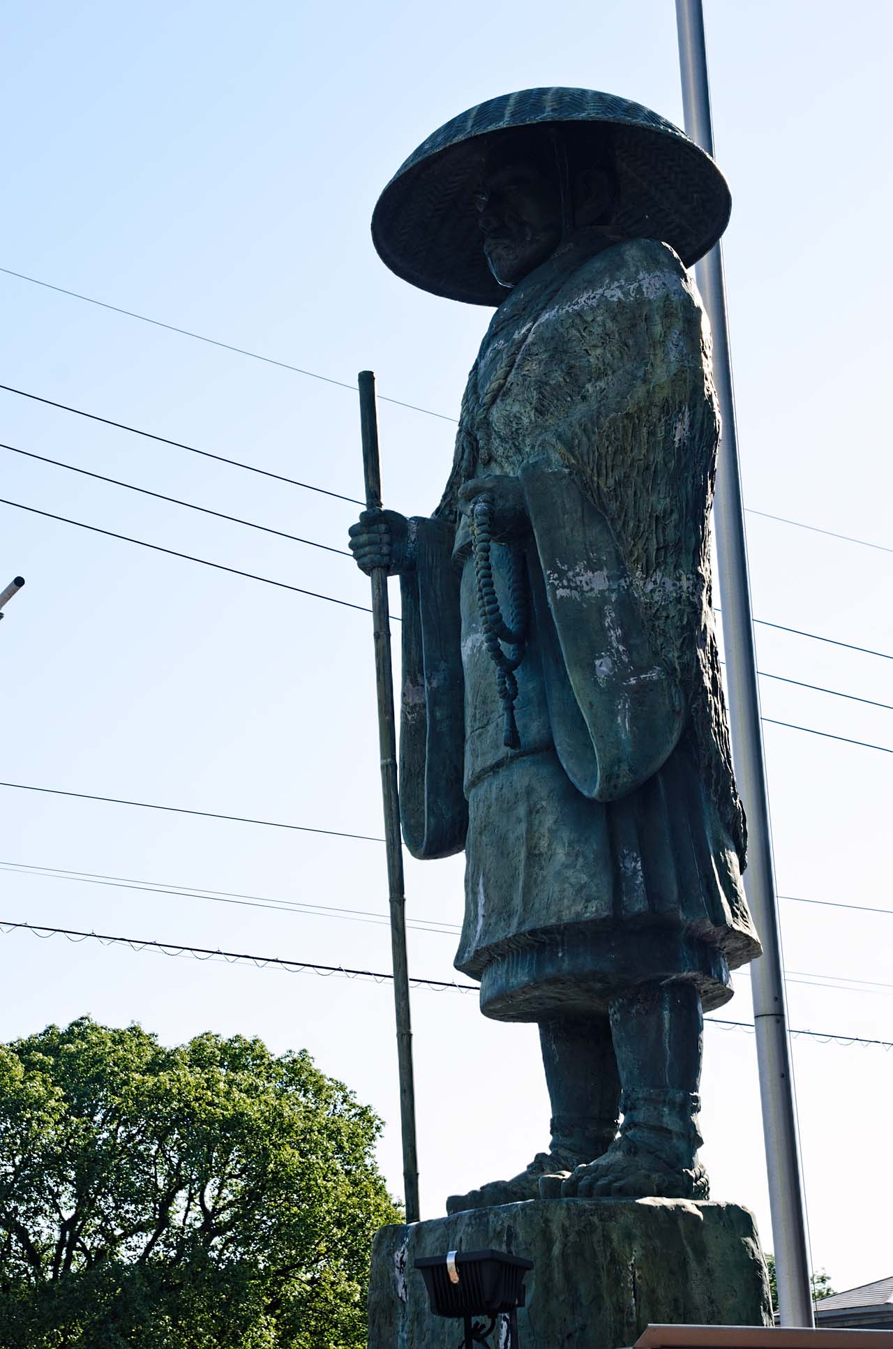
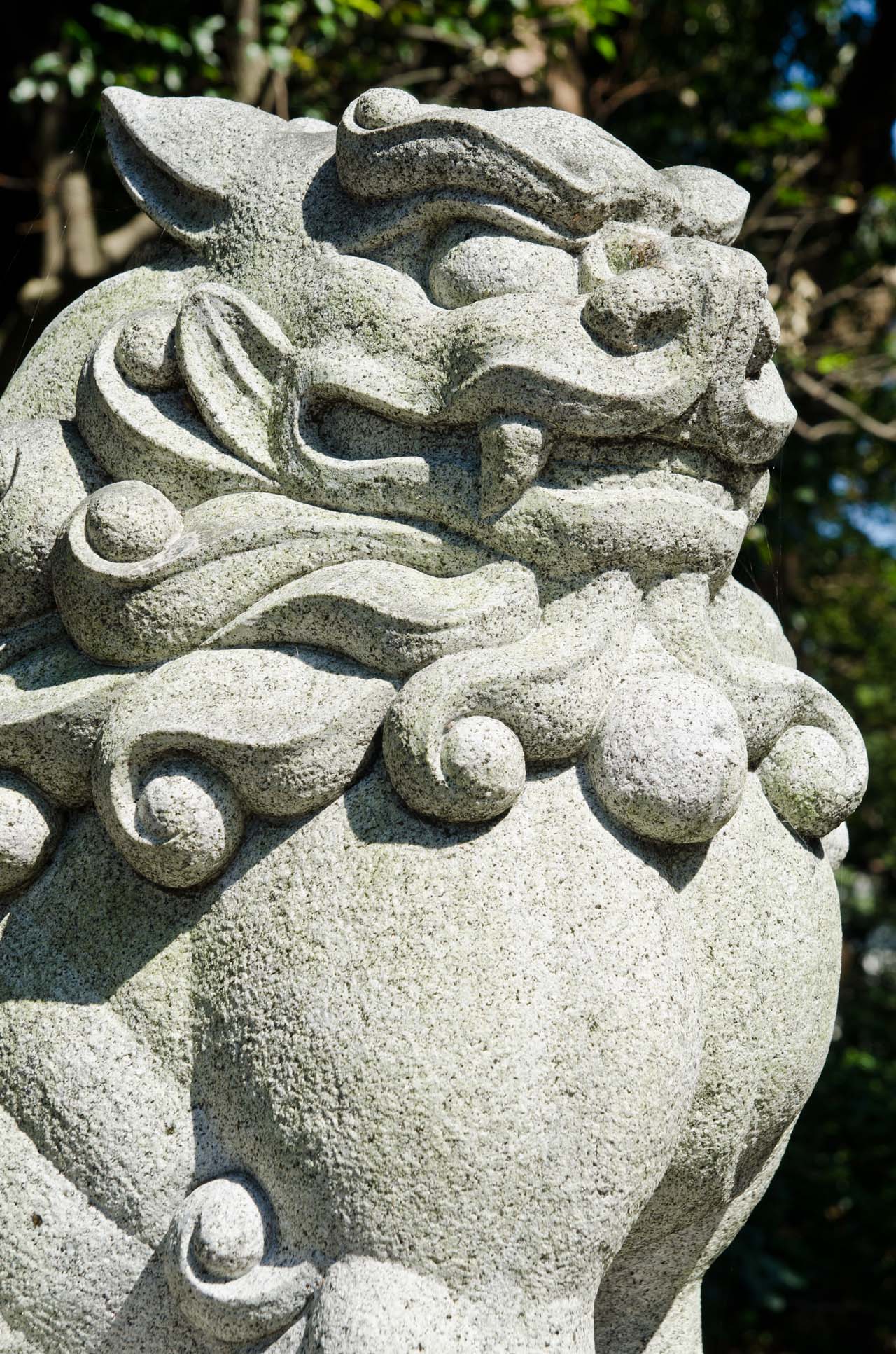
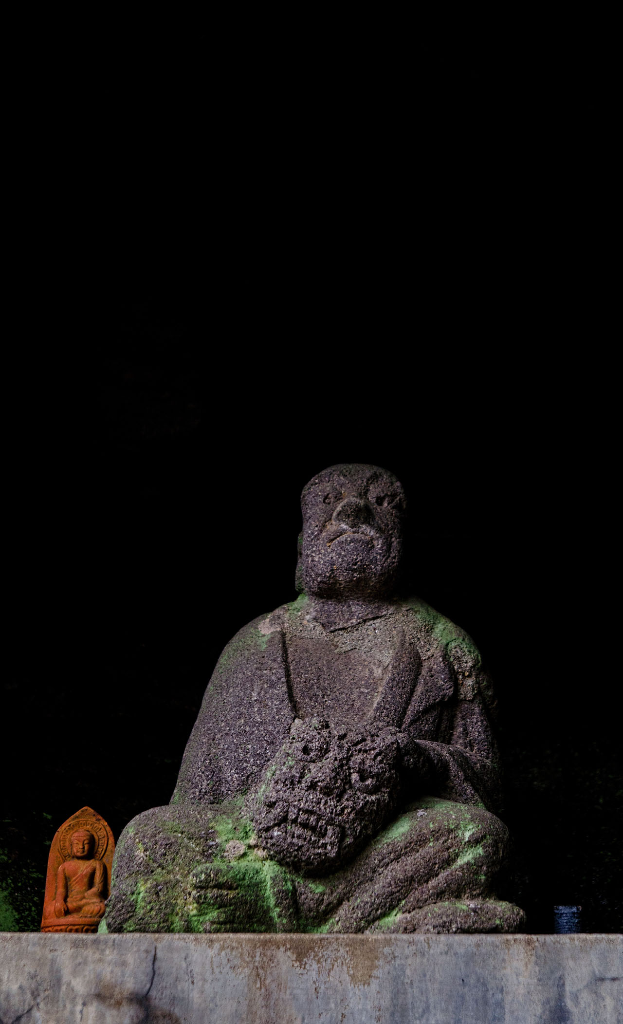
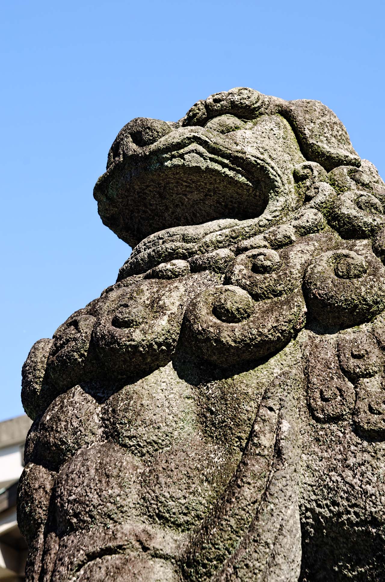
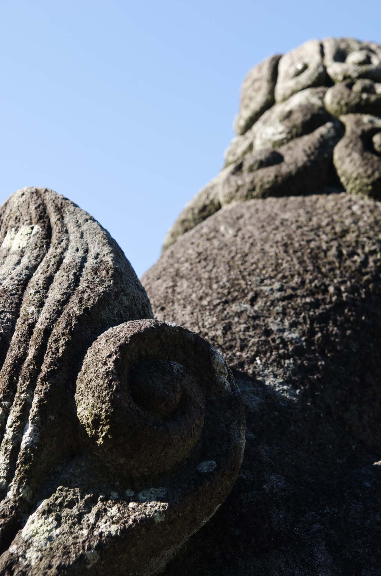
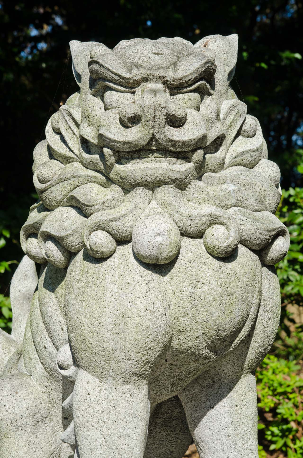 Komainu (狛犬)
“Meant to ward off evil spirits, modern komainu statues are almost identical, but one has the mouth open, the other closed. This is a very common characteristic in religious statue pairs at both temples and shrines. This pattern is however Buddhist in origin and has a symbolic meaning. The open mouth is pronouncing the first letter of the Sanskrit alphabet, which is pronounced “a”, while the closed one is uttering the last letter, which is pronounced “um”, to represent the beginning and the end of all things. Together they form the sound Aum, a syllable sacred in several religions like Hinduism, Buddhism, and Jainism.” Wikipedia article.
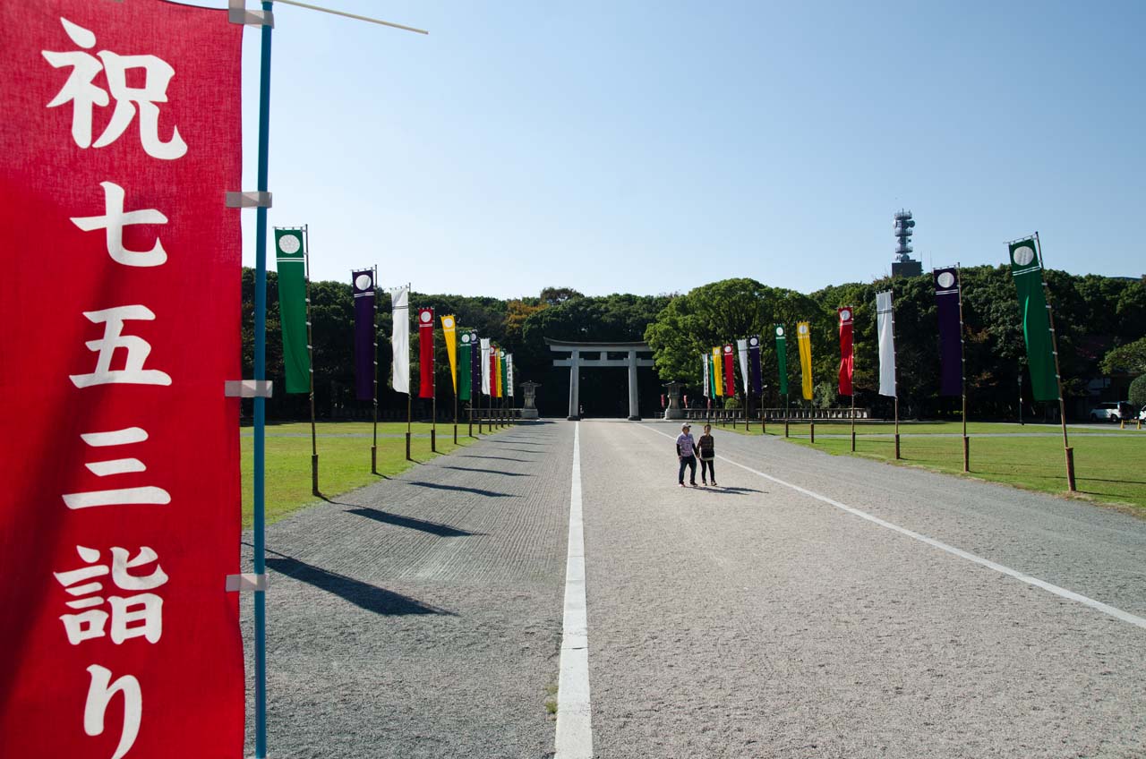
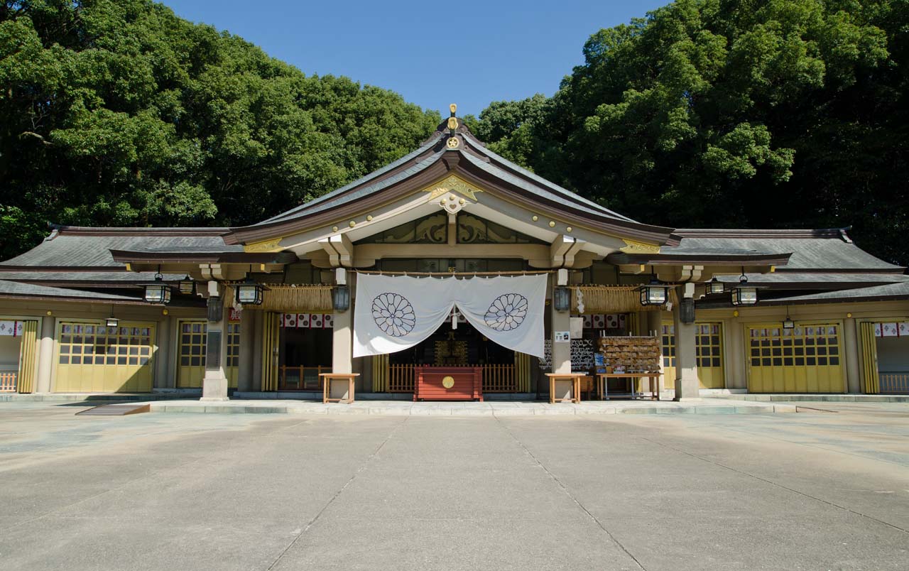
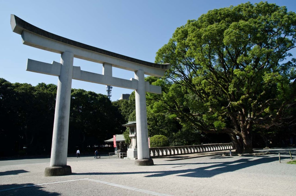 Gokoku Shrine 護国神社.
 Yayoi Kusama 草間 彌生 pumpkin パンプキン sculpture at Fukuoka Art Museum 福岡市美術館. Ohori Park. More Yakoi Kusama pumpkins (INHALE MAG).
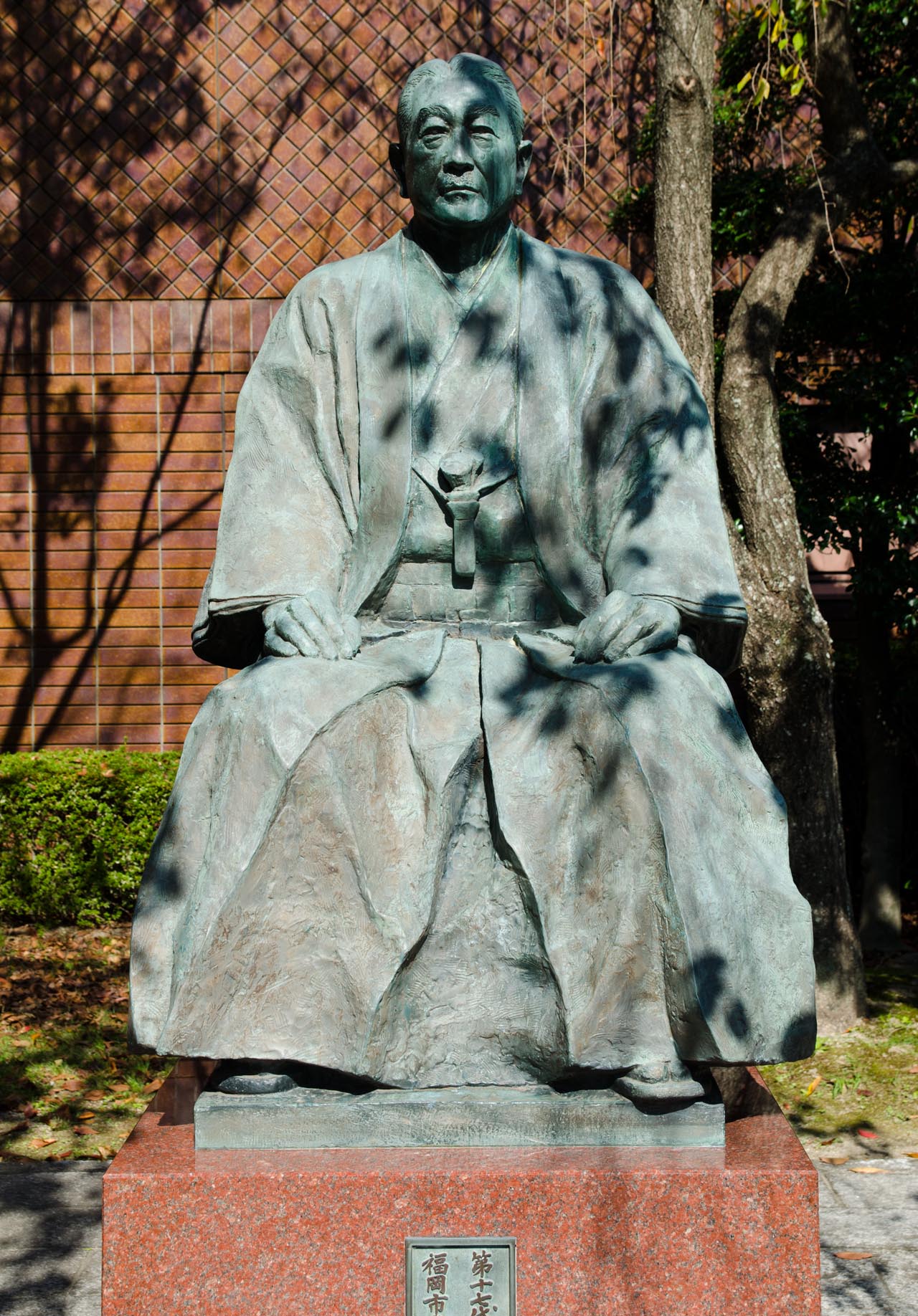 Ohori Park.
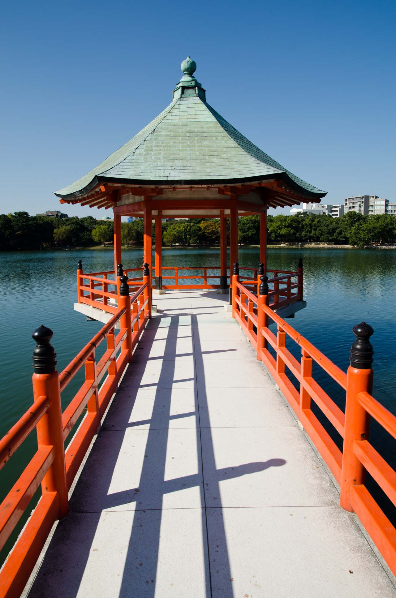
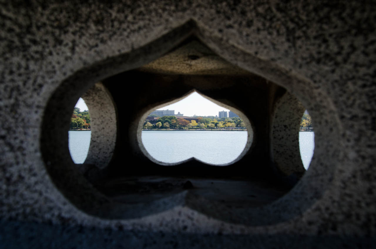
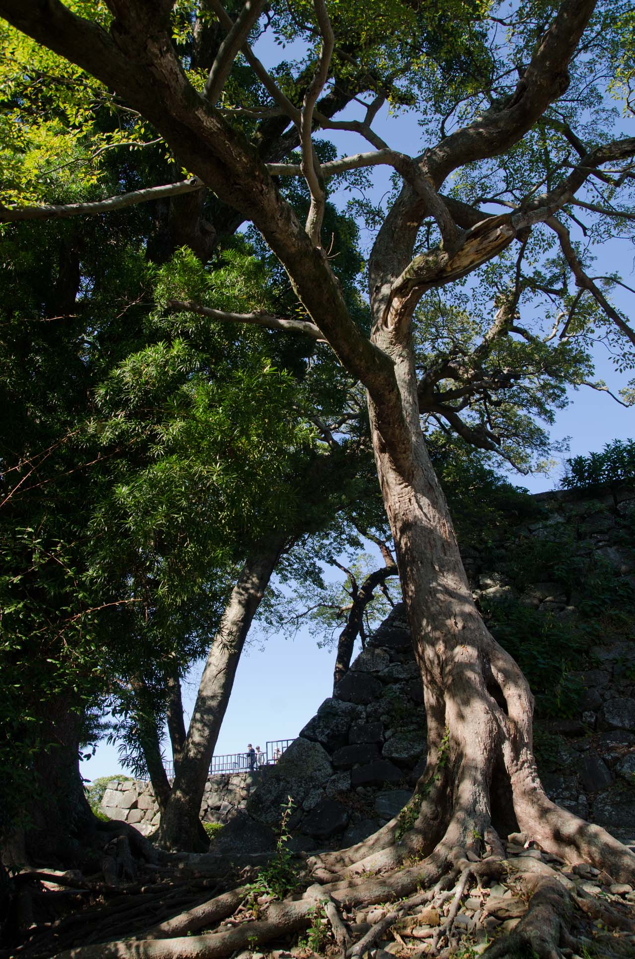
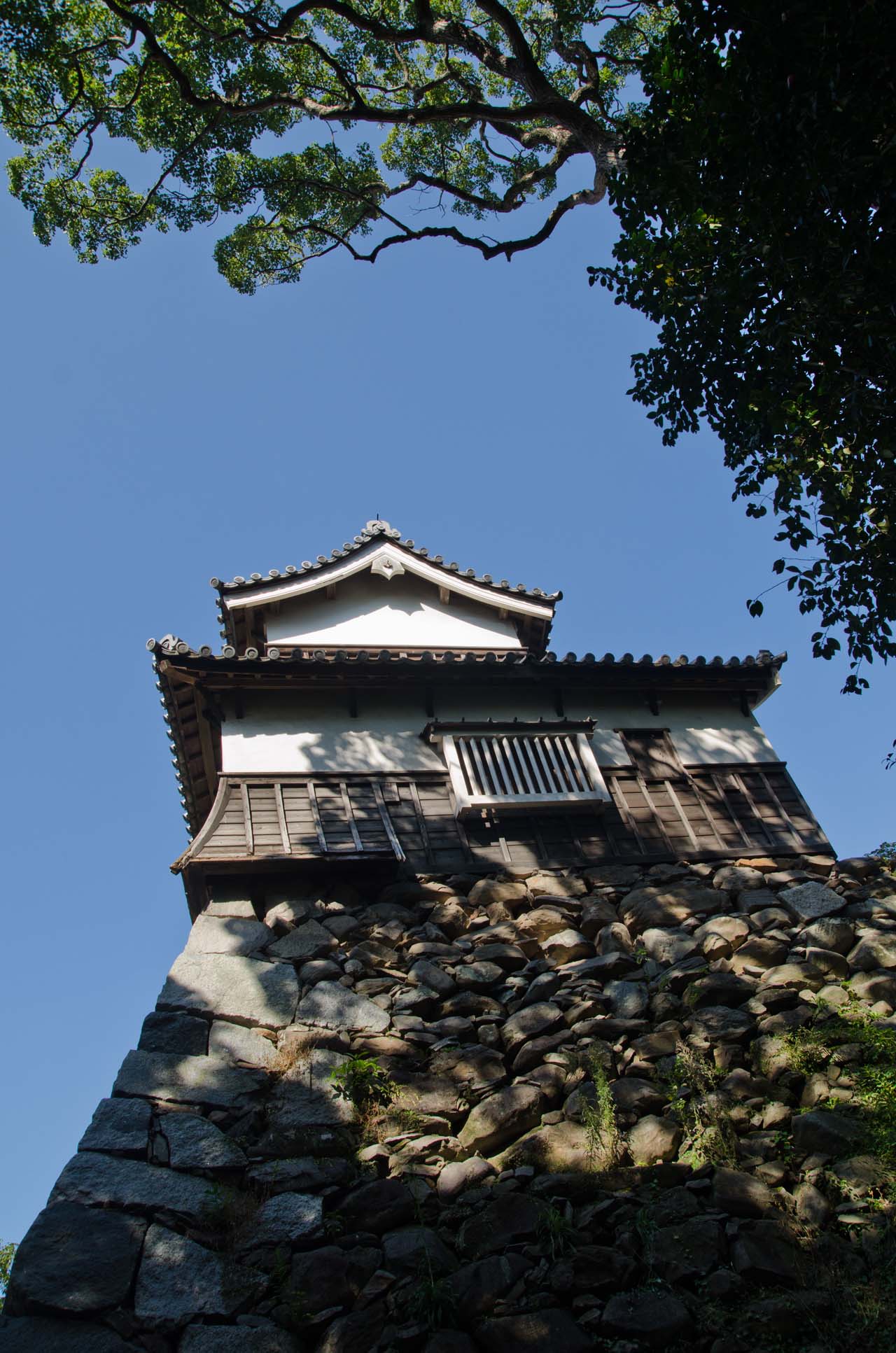 Fukuoka Castle ruins 福岡城.
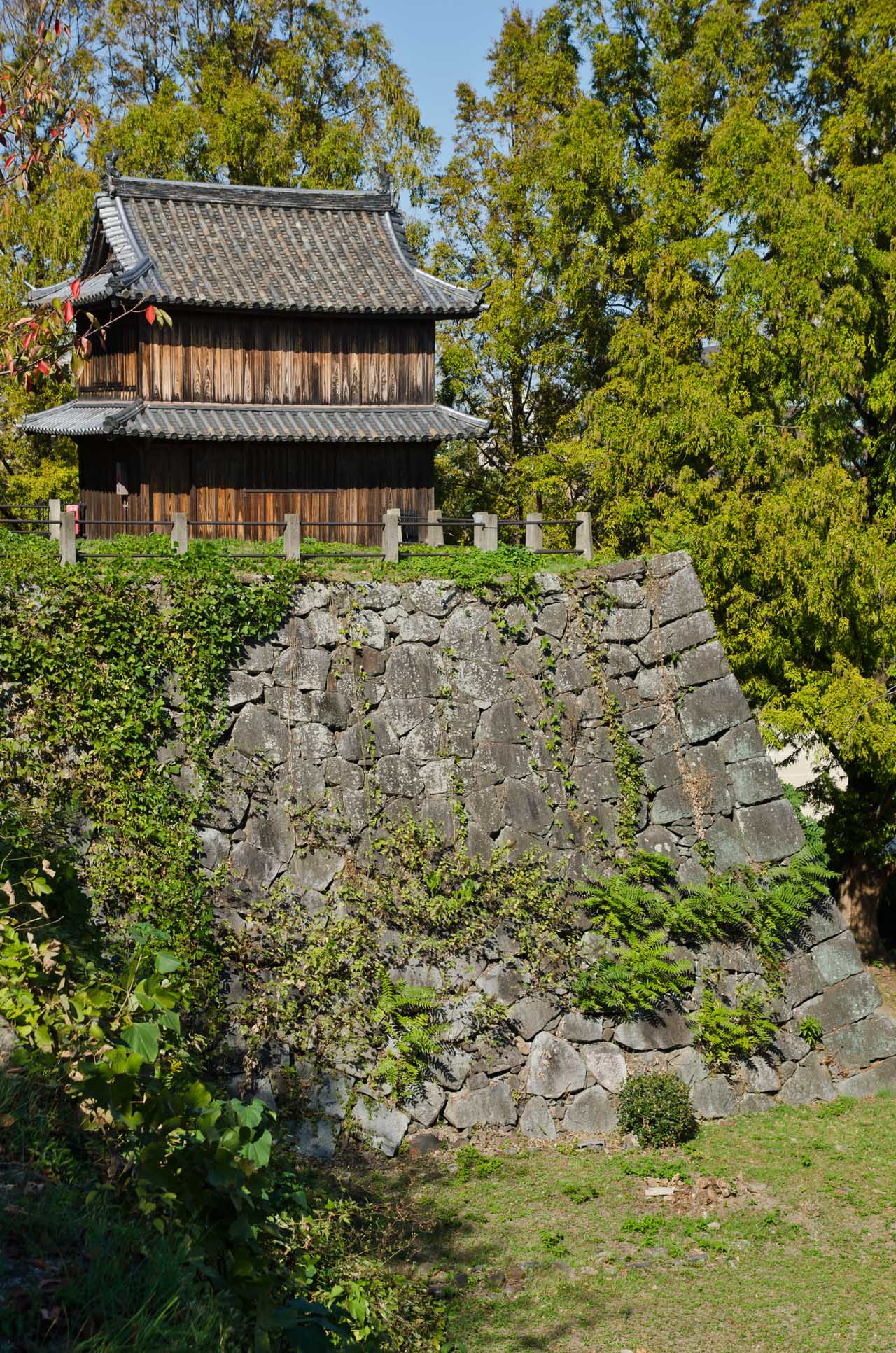
 October 28, 2014.
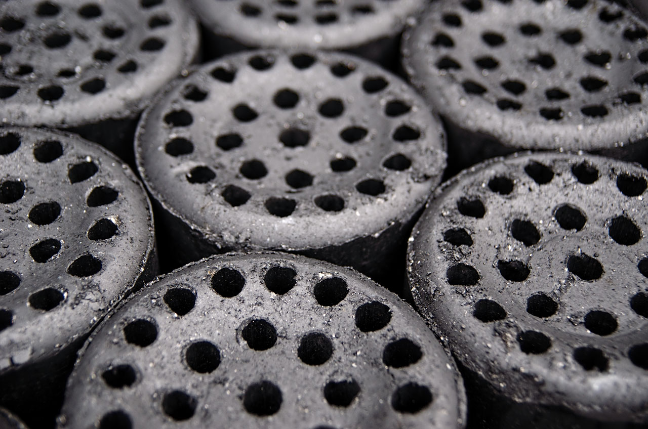
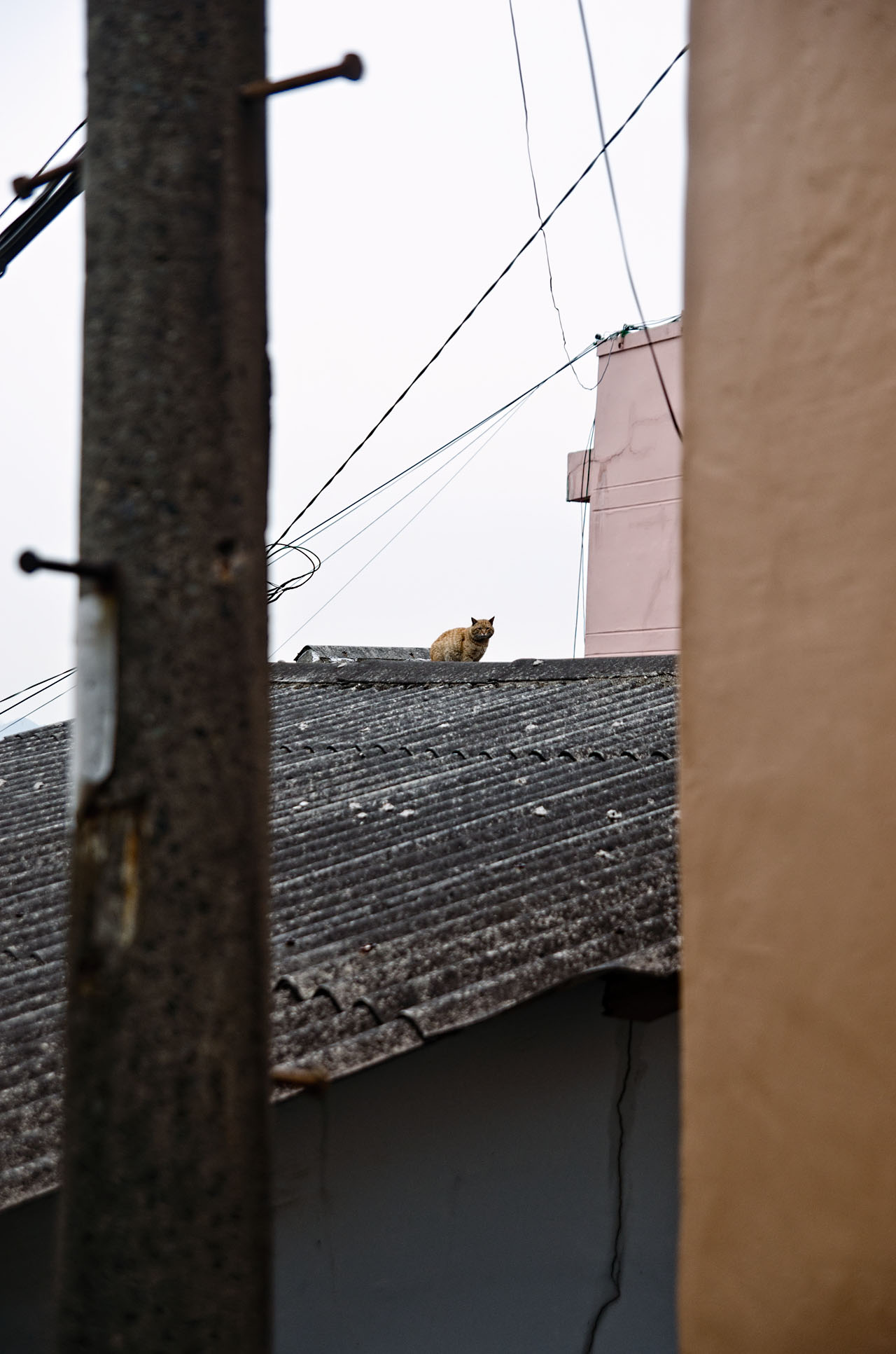
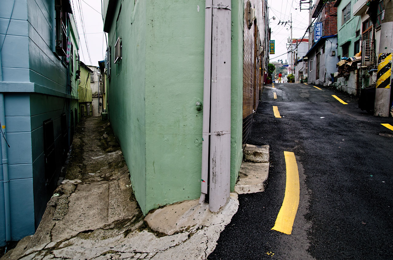
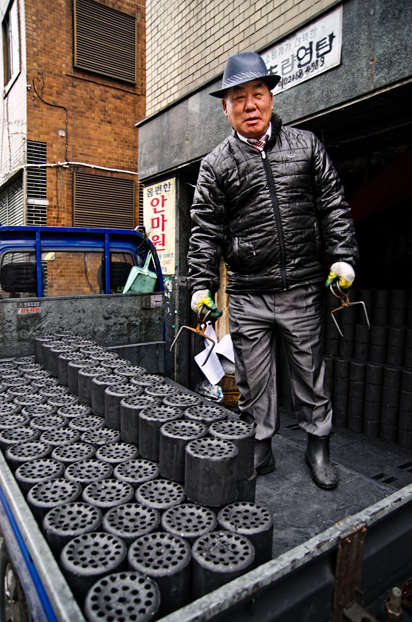 A truckful of yeontan and a stylish coalman in Chojang-dong.
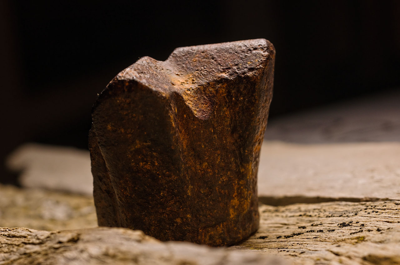
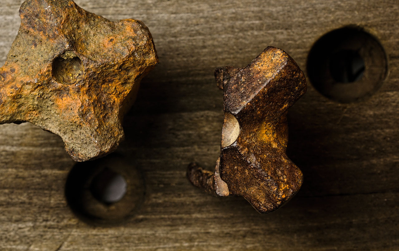
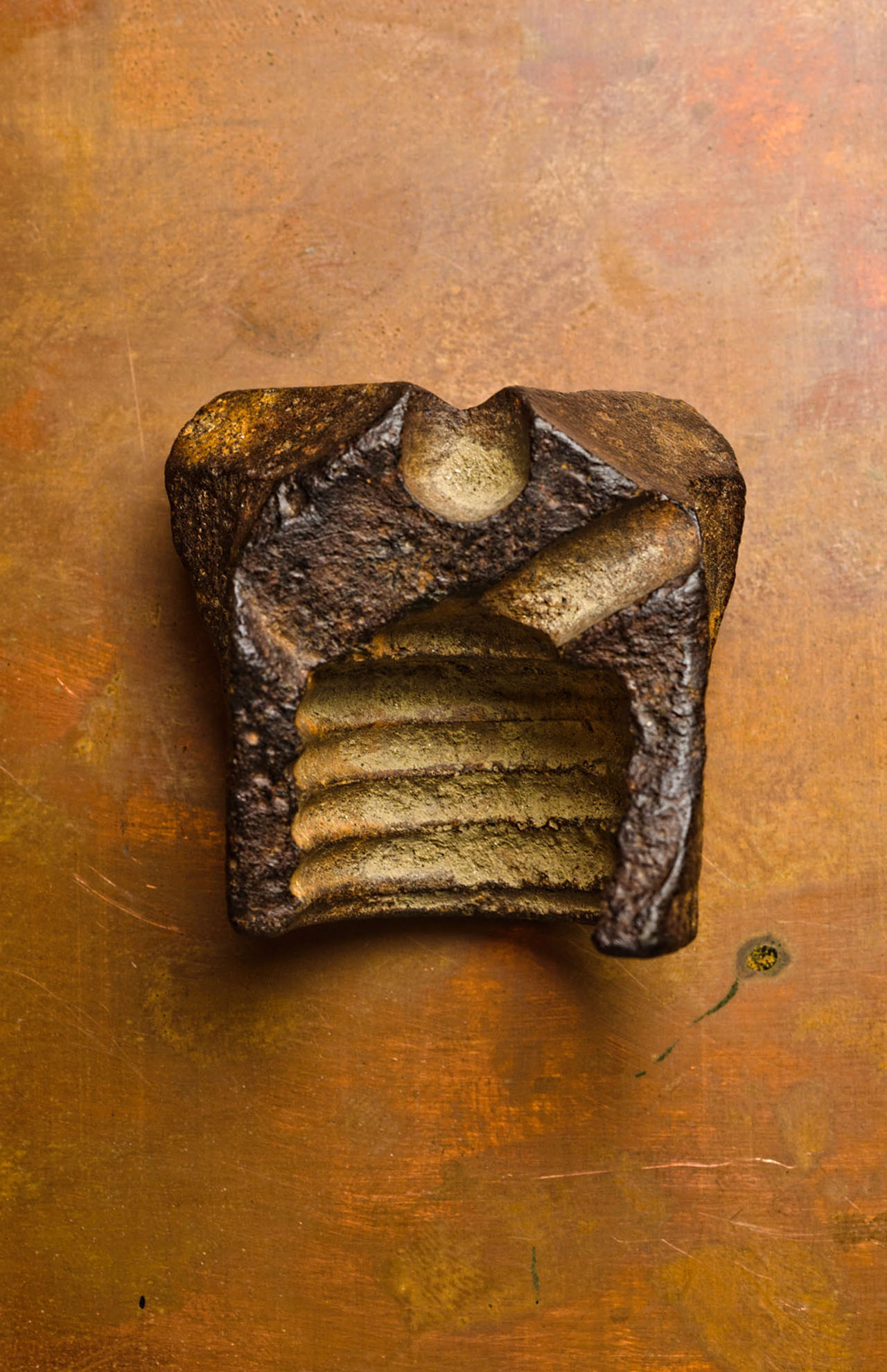 Broken mine drill bit.
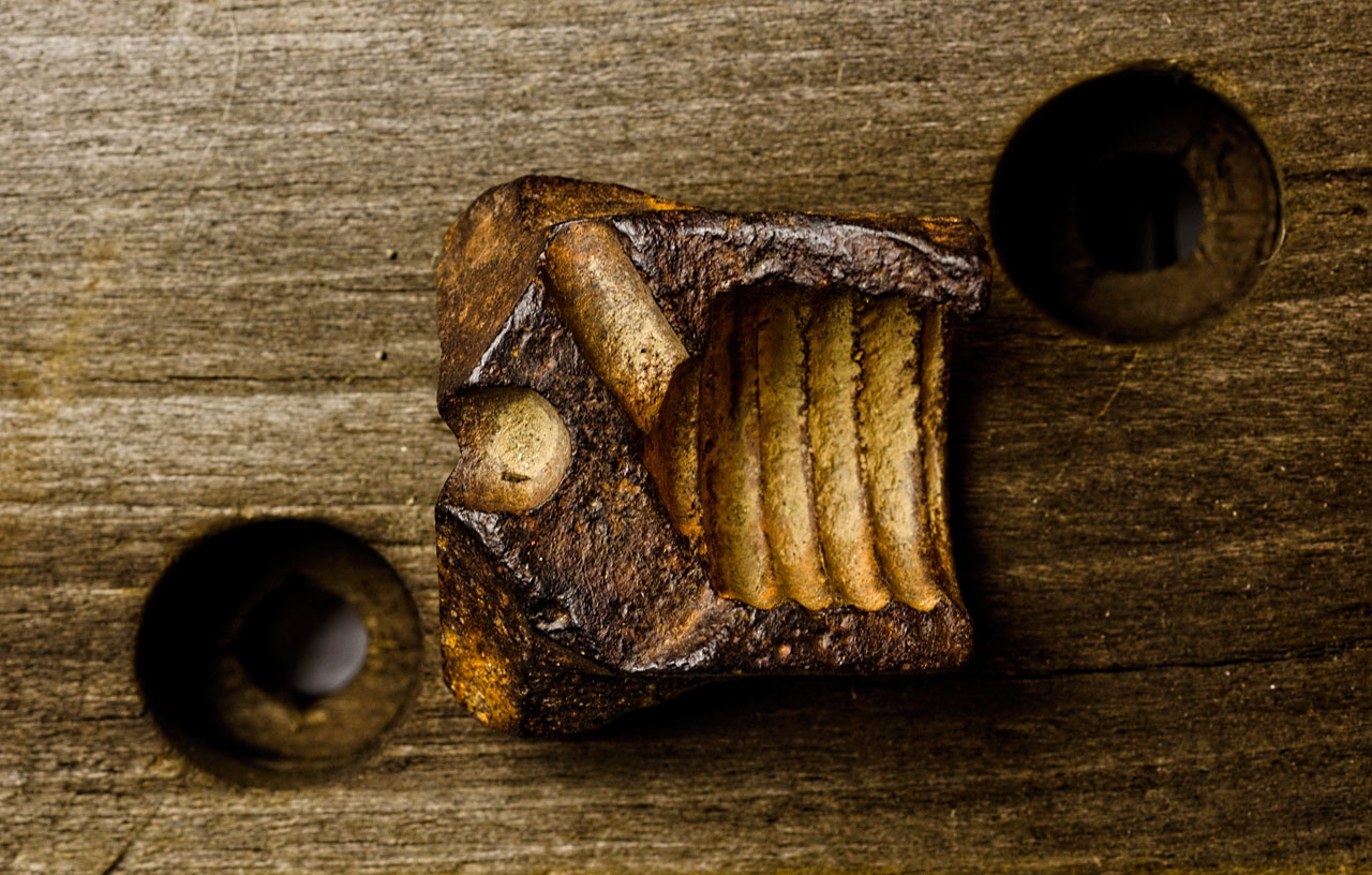
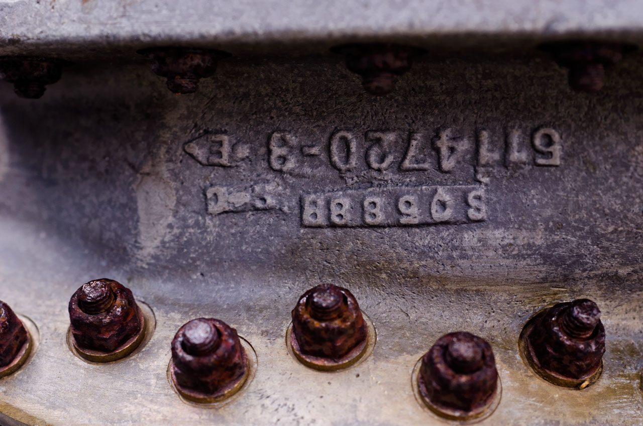
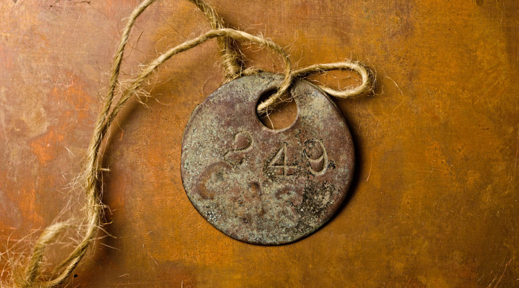
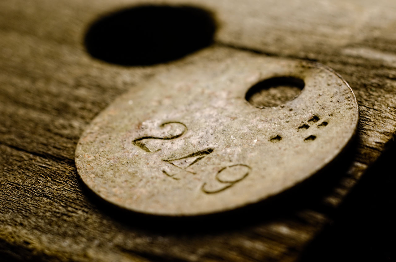
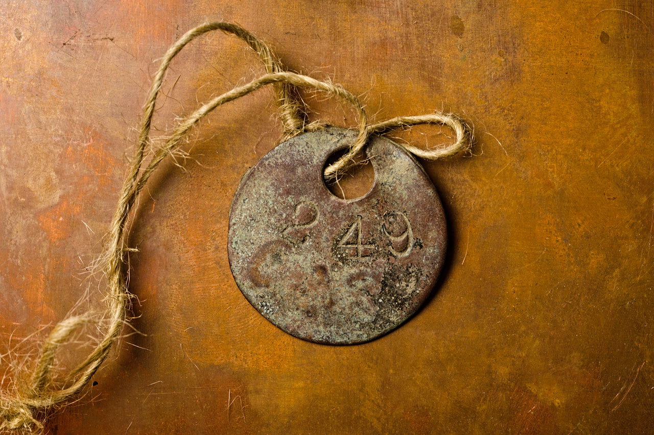 Tags from a coal mine.
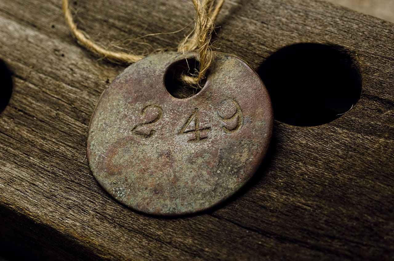
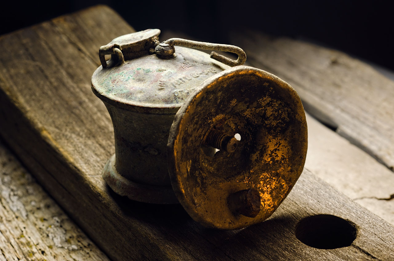 Upper chamber of a carbide lamp.
see Cataphile
See the Catacombs of Paris
See the Mines of Paris

Map of ancient Parisian mines, 1908 (wikimedia).
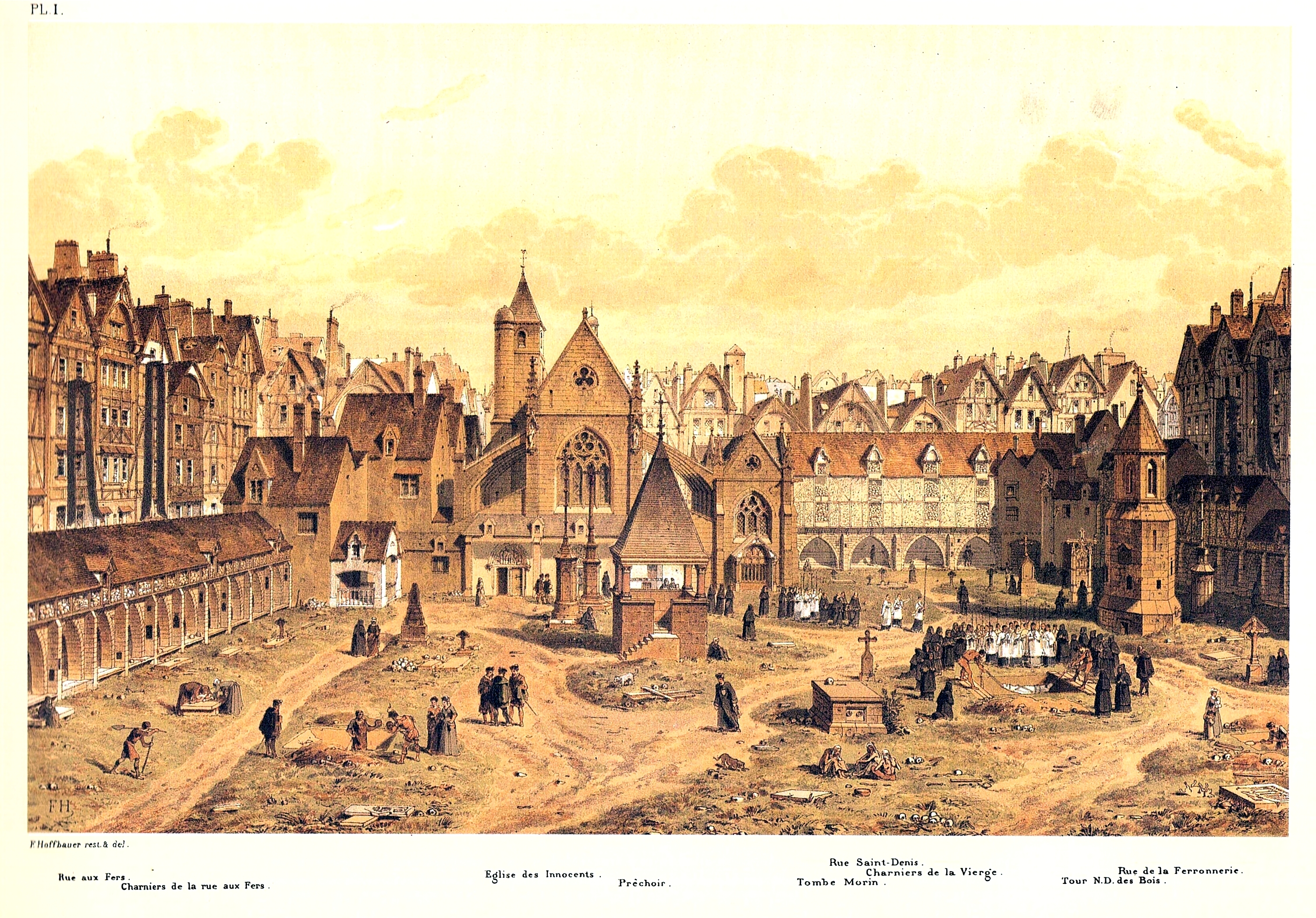
Les Innocents cemetery, 1550 (wikimedia).
 부산역.
부산역.